Dawson Creek
From Hinton to Dawson Creek, British Columbia my miles driven were 284.6. I continue to see “watch out for wildlife” signs but have yet to see any big antler type animals. The only ones that I did see were at a farm.
I finally made it to Mile 0 of the Alaska Highway! This is the beginning of the Alaska Highway!
Total mileage from my home to Mile 0 of the Alaskan Highway was 3441.7 miles!
My first stop in town was at the Mile 0 Signpost and visitor center. They have a nice museum with interesting artifacts from the past and information on the Alaska Highway.
As a group we also met at the Mile 0 Signpost for a photograph. Our wagon masters made us a delicious dinner and we had someone from the visitor center speak to us about Dawson Creek history along with history of the Alaskan Highway.
I also walked around town and stopped at the highly recommended Butcher shop and purchased a ribeye steak which was delicious and fed me for three days!
Sitting in the middle of a traffic circle is the Surveyor Statue. The statue is a tribute to the thousands of men that built the Alaska Highway. The figure points northwest, the direction the soldiers took in the 1940’s.
Construction of the “Alcan” Highway officially began on March 9, 1942.
The building of the highway took unprecedented cooperation between the Canadian and United States governments. In 1936 President Roosevelt lobbied the Canadian Prime Minister for a highway connecting Canada and Alaska. It could be used to shore up military defenses on the west coast in case of Japanese attack. It wasn’t until the attack on Pearl Harbor that both nations agreed on the importance of such a road and quickly started the process.
More than 11,000 soldiers and engineers, 16,000 civilians and 7000 pieces of equipment were called upon to build the 1500-mile road through the vast wilderness of Canada and Alaska.
Recon parties often depended on local guides to help locate possible routes for the new road. Once the route had been scouted, the survey crews would move in. One man would set up with his compass and locate a second man, who would proceed through the brush waving a signal flag from the top of his staff as far as he could be seen.
They worked through grueling conditions and had to dig through rocks and permafrost. Finally, crews working from east and west connected on September 15th. Construction ended on October 25, 1942, when it was possible for a few vehicles to travel the entire length of the highway. Ribbon Cutting for the highway was November 20, 1942.
I find it amazing that they completed the road in less than 9 months! The original road wasn’t the highway it is today. It was a muddy single-lane track that could only be travelled by heavy duty vehicles, and the hills had grades as step as 25%.
The current highway is mostly paved but when there has been damage to the road from ice freezes and heaves the road turns into gravel and dirt.
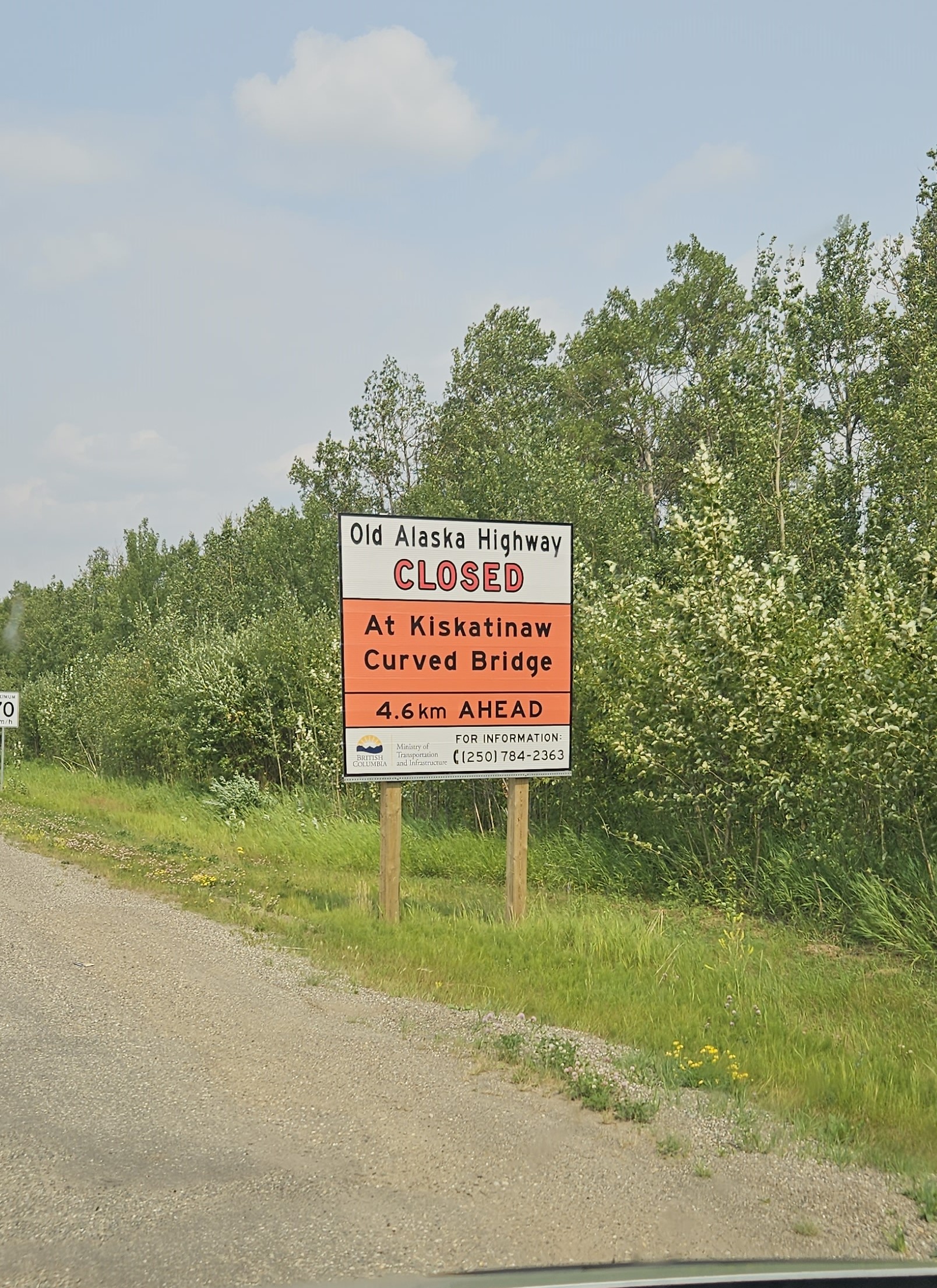
I drove to part of the original “Old Alaskan Highway”. This road is now closed at an old wooden bridge. There were great views from the bridge. What a neat piece of Alaskan Highway History
Again, in the photos you will see that our views were muddled again with wildfire smoke. I am still unlucky seeing large wildlife such as Moose, Caribou, Elk. The only ones I saw were in a pasture.
Next stop is Fort Nelson